Surrey Hills (Zig Zag Road) · United Kingdom
Box Hill
The 2012 Olympic road race climbed it nine times in the men's race and twice in the women's.
- Length
- 2.5 km
- Gradient
- 5%
- Summit
- about 180 m
- Climbing
- 129 m
Source: Cycling Uphill, Box Hill. Checked 2026-11-12.
Ridden it? Put it on your photo
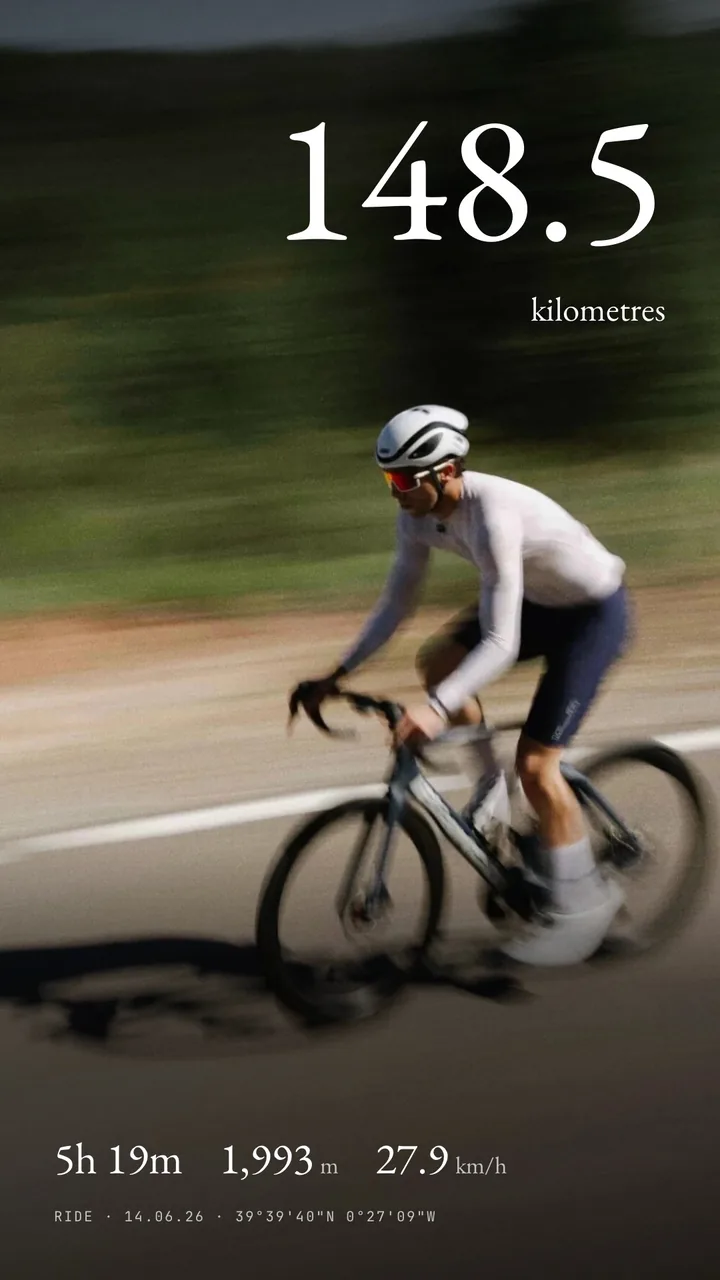
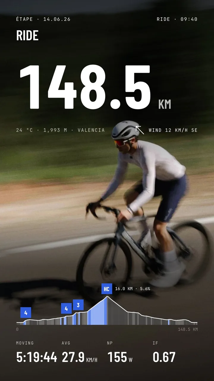
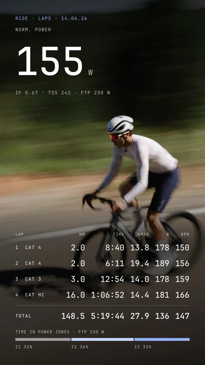
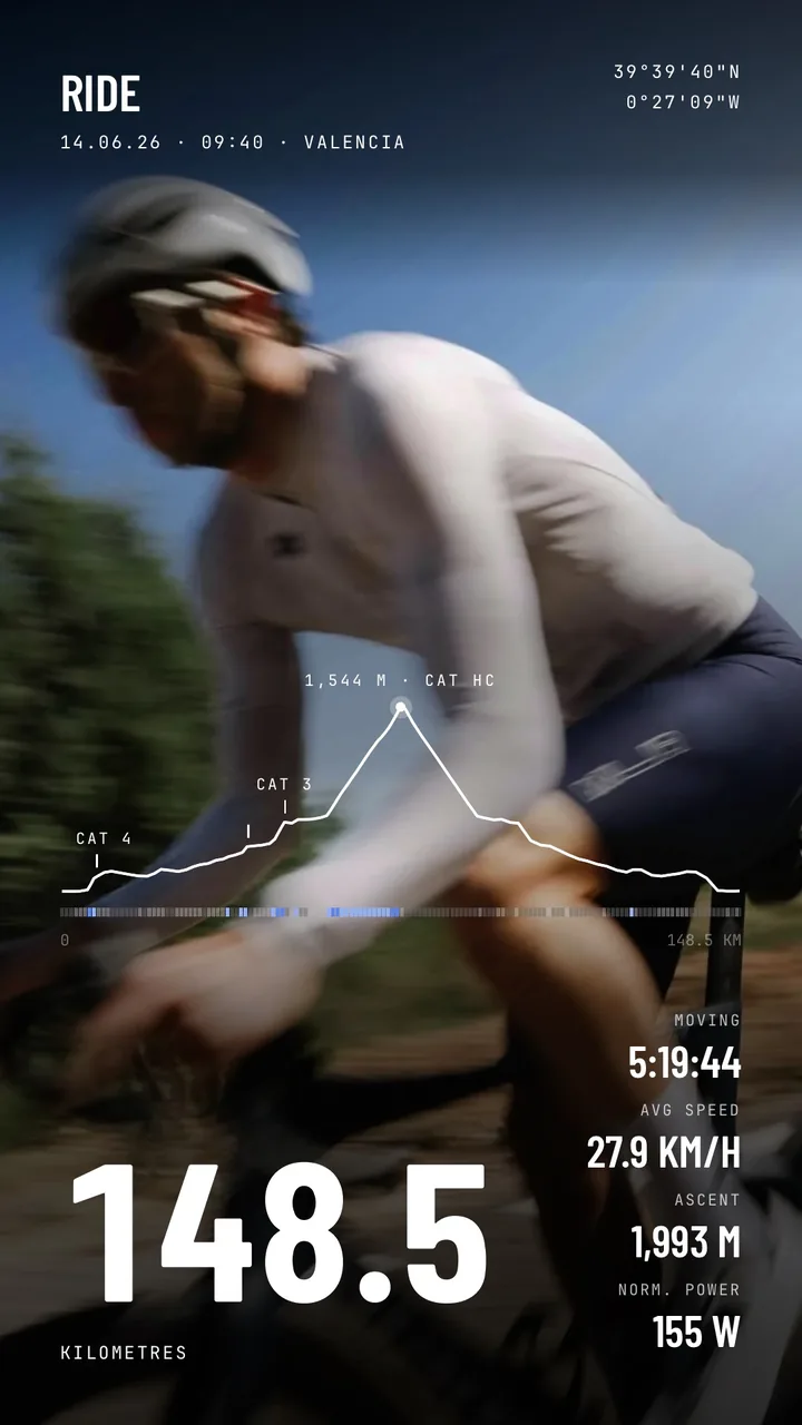
SHUTT reads the ride from Strava and lays it over the photo you took on the way up: distance, time, speed, elevation, the route as a mark, and your power when the ride has it.

Box Hill: questions
How long and how steep is Box Hill?
Box Hill is 2.5 km at an average of 5%, topping out at about 180 m, with 129 m of climbing, according to Cycling Uphill, Box Hill. Figures vary with the start point, so check the segment you ride.
How do I put my Box Hill ride on a photo with my Strava stats?
Get SHUTT for iPhone and connect Strava. Open the ride, pick a photo from the climb and choose a ride look: your distance, time, speed, elevation and the route are already on it, and your power too when the ride has it.
Which photo works best for a climb?
One with the road in it: the hairpins from above, the summit sign, or the view back down the valley. Leave the top or the bottom of the photo clear so the stats have room.